Wonglepong Cemetery is located in Franklin Lane, off the Beaudesert Nerang Road at Wonglepong.
Prior to 1914 it was a private cemetery, part of the property Sarahvale, owned by the Franklin family. In approximately November 1914, Ann Ford Franklin donated one acre of Portion 52 to Tamborine Shire Council to be leased for the use as a public cemetery. On Survey Office maps this area was marked as R.517, cemetery reserve, although the tenure was marked F for freehold.
The cemetery has been known as Franklin cemetery, Wanglepong cemetery, then Wonglepong. It was also referred to in 1914 as Lower Canungra cemetery.


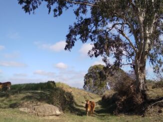
It is set in a lovely bush setting with large shady trees. It is a very historical cemetery as many of the earliest settlers are buried here. Among these graves are names such as Boyland, Caswell, Cavell, Colvin, Curtis, Day, Franklin, Hinchcliffe, Lea and Reiser. The cemetery is also the resting place of Edwin Bode, the gifted local artist.
Queensland State Archives Series ID S5962 consists of a register of interments in the Wonglepong cemetery. The entries for Wonglepong can be found pages 1 – 5 and 13. Details for each entry include when interred, name of deceased, size of grave, fees, grave or peg number, age, undertaker, minister, male or female, remarks.
No information has been located regarding the date when compilation of this register began; although original entries seem to have been made in the 1930s.
The cemetery was originally the responsibility of the Tambourine Shire Council before passing to the Beaudesert Shire Council. It is now administered by the Scenic Rim Regional Council.
_____________________________________________________________________________________________________
Sources:
Tamborine Shire Council, Minute Book, 10 June 1913 – 9 October 1915, pp 201 – 202, 237 – 238; QSA: SRS4982/1/5.
Tamborine Shire Council, Minute Book, 14 January 1918 – 9 February 1920, pp 8, 34.
Survey Office, Parish of Tamborine, County of Ward (map), 1940; QSA: A5/32, 1940.
Lands Department, Purpose card index to reserve files (by County), County of Ward, Res. 517; QSA: C/998.
Queensland State Archives, Series ID S5962: Wonglepong Cemetery Register of Graves pages 1 – 5 and 13.